File:Dnipropetrovsk oblast detai.png
Dnipropetrovsk_oblast_detai.png (548 × 344 pixels, file size: 44 KB, MIME type: image/png)
| This is a file from the Wikimedia Commons. The description on its description page there is shown below.
|
Summary
| Description | ||||
| Date | ||||
| Source |
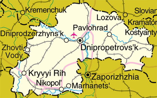
Adapted from http://www.un.org/Depts/Cartographic/map/profile/ukraine.pdf Link to en.wikipedia: Dnipropetrovsk_oblast_detai.png |
|||
| Author | Mortadelo2005 | |||
| Permission (Reusing this file) |
|

File history
Click on a date/time to view the file as it appeared at that time.
| Date/Time | Thumbnail | Dimensions | User | Comment | |
|---|---|---|---|---|---|
| current | 14:05, 14 May 2006 | | 548 × 344 (44 KB) | wikimediacommons>Mortadelo2005 | Map of Dnipropetrovsk Oblast, Ukraine Adapted from http://www.un.org/Depts/Cartographic/map/profile/ukraine.pdf Link to en.wikipedia: http://en.wikipedia.org/wiki/Image:Dnipropetrovsk_oblast_detai.png {{UN_map}} {{PD}} [[Category:Maps of Ukra |
File usage
There are no pages that use this file.