File:Crimea location map.svg
Jump to navigation
Jump to search


Size of this PNG preview of this SVG file: 567 × 377 pixels. Other resolutions: 320 × 213 pixels | 640 × 426 pixels | 800 × 532 pixels | 1,024 × 681 pixels | 2,560 × 1,702 pixels.
Original file (SVG file, nominally 567 × 377 pixels, file size: 187 KB)
| This is a file from the Wikimedia Commons. The description on its description page there is shown below.
|
Summary
| Description |
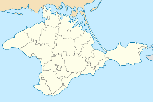
English: Location map of Crimea republic, Ukraine
Italiano: Cartina della repubblica di Crimea, Ucraina
Русский: Позиционная карта Крымской республики, Украина
Українська: Карта Криму, Україна |
| Date | |
| Source | Own work |
| Author | Urutseg |
| SVG development | This locator map was created with Inkscape. |
Licensing
| I, the copyright holder of this work, release this work into the public domain. This applies worldwide. In some countries this may not be legally possible; if so: I grant anyone the right to use this work for any purpose, without any conditions, unless such conditions are required by law. |
File history
Click on a date/time to view the file as it appeared at that time.
| Date/Time | Thumbnail | Dimensions | User | Comment | |
|---|---|---|---|---|---|
| current | 10:17, 6 April 2022 | | 567 × 377 (187 KB) | wikimediacommons>Andrew Pertsev | cleared |
File usage
There are no pages that use this file.